Related posts
Description
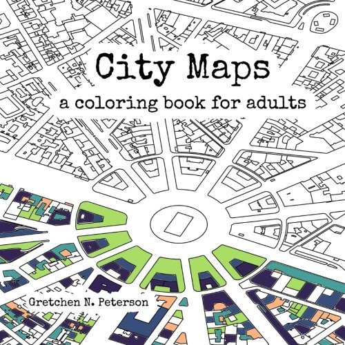
Revised and updated Did you always want to try coloring your own map? Now you can! With over 40 bird's-eye view maps to color from all the largest metropolitan areas in the world, you'll get plenty of cartographic practice.These amazing city maps feature real building and road outlines at scale, in the correct local map projections, from a filtered and cleaned OpenStreetMap database.This is real map data like you've never seen it before.
Close-up locations such as the Arc de Triomphe in Paris, the Grand Canal in Venice, and Central Park in New York City are included. Also discover surprising and beautiful locations such as the Lotus Temple in New Delhi and Bidhannagar in Kolkata.
- Color major cities in a unique format with the colors that bring them to life for you.
- Includes 94 pages with 44 maps, many with high levels of intricacy.
- Printed on one side of each page.
- Perfect for travelers, design fans, map lovers, classrooms, and mindfulness enthusiasts.