Related posts
Feature
Atlases: Every Benchmark atlas is specially designed for enthusiasts of hunting, fishing, camping, boating, hiking, and other outdoor activities. All atlases have Benchmarks exclusive Landscape Maps with large easy-to-read and page overlap, and a useful GPS grid. The categorized Recreation Guide makes planning your next adventure a breeze. The Recreation Maps have public land ownership shown as color tints, and most titles have hunting unit names and boundariesRecreational Maps: Benchmarks Recreation Maps were created for outdoor lovers who want the high quality recreation information in our atlases but with the convenience of a traditional folding map. Complete public lands detail and hunting unit boundaries are shown as well as categorized recreation listings.
Description
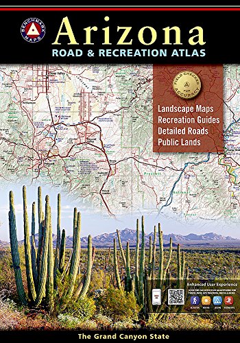
Arizona's natural beauty and outdoor possibilities are known worldwide. Benchmark's Arizona Road and Recreation Atlas makes it easy to discover the best the state offers. Detailed maps have thousands of miles of backcountry roads and include trailheads, campgrounds, and hundreds of points of interest. Public Lands maps show hunting units and the Recreation Guide has the latest information on campgrounds, RV parks, golf, and boating.- Map Scale = 1:285,000 & 1:1,000,000
- Sheet Size = 11" x 16"