Related posts
Feature
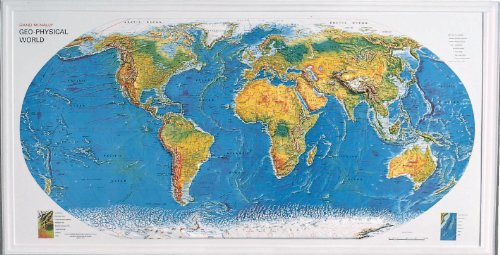
Sold as an EachStudents will find that maps are extremely fascinating
This one is no exception in that it is a relief map
Map indicates political boundaries, major cities, national capitals, time zones, scales, and Antarctic expedition bases
It also provides color keys to terrain, vegetation and oceanic features to enhance the learning experience